Page 304 - Panjek, Aleksander, Jesper Larsson and Luca Mocarelli, eds. 2017. Integrated Peasant Economy in a Comparative Perspective: Alps, Scandinavia and Beyond. Koper: University of Primorska Press
P. 304
integr ated peasant economy in a compar ative perspective
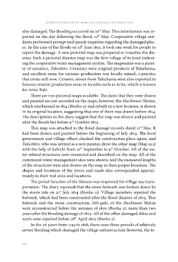
also damaged. The flooding occurred on 10th May. This information was re-
ported on the day following the flood, 11th May. Cooperative village resi-
dents performed prompt and speedy inquiries regarding the damaged plac-
es. In the case of the floods on 13th June 1801, it took one week for people to
report the damage. A new pictorial map was prepared to visualise the dis-
aster. Such a pictorial disaster map was the first village of its kind indicat-
ing the cooperative water management system. The mapmaker was a paint-
er of ceramics, Takeshiro. Ceramics were original products of Takahama,
and excellent stone for ceramic production was locally mined, a practice
that exists still now. Ceramic stones from Takahama were also exported to
famous ceramic production areas in Kyushu such as Arita, which is known
for Arita-Yaki.
There are two pictorial maps available. The dates that they were drawn
and painted are not recorded on the maps; however, the Hachiman-Shrine,
which was burned in 1814 (Bunka 11) and rebuilt in a new location, is shown
in its original location, suggesting that one of them was drawn before 1814.
The descriptions in the diary suggest that the map was drawn and painted
after the floods but before 9th October 1803.
This map was attached to the flood damage records dated 11th May. It
had been drawn and painted before the beginning of July 1803. The local
government and village officer checked the construction place again, and
Takeshiro, who was invited as a new painter, drew the other map (Map 12.5)
with the help of Sahichi from 10th September to 9th October. All of the wa-
ter-related structures were measured and described on the map. All of the
communal water management sites were shown, and the measured lengths
of the structures were also drawn on the map in their proper locations. The
shapes and locations of the rivers and roads also corresponded approxi-
mately to their real sizes and locations.
The portal function of the Shirasu was improved for village sea trans-
portation. The diary reported that the stone bulwark was broken down by
the storm tide on 21st July 1814 (Bunka 11). Village members repaired the
bulwark, which had been constructed after the flood disaster of 1803. This
bulwark and the stone construction, Ishi-gaki, of the Hachiman Shrine
were reconstructed before the autumn of 1805 (Bunka 2), more than two
years after the flooding damage of 1803. All of the other damaged dikes and
weirs were repaired before 28th April 1805 (Bunka 2).
In the 26 years from 1793 to 1818, there were three periods of relatively
severe flooding which damaged the village infrastructure; however, the lo-
302